Randonnée 10179 St Julien - Fargues sur Ourbise - Aquitaine, Lot-et-Garonne (47)
Rando proposée par: Moulin de Campech
Cette page a été affichée 2881 fois.
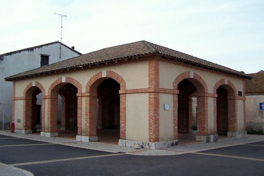
Duration approximately 3 hours,15km (Distances in brackets are cumulative) Nature of walk : A few gentle climbs and descents on sandy paths through the woods, a few short stretches of tarmac road. Turn right out of gate and then left onto the road to Caubeyres. After 700 metres take the tarmac track on the right. Signposted to Pingareaud and Caillerot. After a few minutes when the tarmac road swings to the right follow the sandy track straight on (1.3km). Follow this flat & straight sandy track (old rail tracks), after about 10 mins at a cross roads carry on straight ahead. After another 10 mins some buildings come into view carry straight on with the buildings to your right, ignore the 2 tracks to the left (3.04km). After another 5 mins you emerge on the lane between Caubeyres and Fargues sur Ourbise (3.61km). Take the road opposite leading to the small hamlet of St Julien. After you pass the church, follow the road round to the right and you come to a “village green”, if you want to visit the source of the Ourbise river (which flows through the campsite) head to you right, to continue the walk take the road straight over keeping the “village geen” on your right (4.61km), after passing a few houses this soon becomes a forest track .After about 5 mins the track splits, take the right hand track. After 20 mins you arrive on the edge of Fargues sur Ourbise, to avoid a stretch of main road, cross straight over in the direction of Pompogne, after 5mins as the road swings to the left take the right hand turn to the church. When you arrive at the church if you turn right towards the “Salle de fete” you will find some public toilets. Across the road from the church is a small shop, although the opening hours may be unpredictable ! To continue, walk left along the main road past the restaurant, hairdressers and the Mairie. Take the smaller road to the right in the direction of Anzex & Villefranche du Queyran (8.35km). Follow this road for 1.2km, when you reach the tree line ignore the first track on the right by the “feux interdit” sign, take the next right after 150m. You reach a T junction after 600m, turn left. Then in 300m you reach a cross roads, turn right. Follow this track for 1 km and you reach another cross roads, turn left. This track now winds its way in a Northerly direction for 2.6km, after about 30mins you reach the main road turn right to return to the campsite.

Type
Boucle

Distance
15 Km

Altitude maxi
130 M

Altitude mini
70 M

Durée
3h

Difficulté
moyenne


Balisage
Non

Accès
Villefranche du Queyran Lot-et-Garonne (47)

Départ
Camping Moulin de Campech

Dénivelé
210 M

Référence carte
1739E Série bleue IGn
| Photos | Type | Titre |
|---|---|---|
 |
Gîte détape | La Vigneraie |
 |
Chambre d'hôtes | La Chambre du Pigeonnier |
 |
Gîte | Gîtes de Beaujardin |
 |
Camping | Camping Moulin de Campech |
| Photos | Nom | Présentation |
|---|---|---|
 |
Château de Duras - Lot et Garonne - Duras |
Dominant la vallée du Dropt, le Château de Duras est surprenant par sa traversée dans l’histoire de France ! Dès le XII° siècle, le Château, simple castrum, est le témoin des conflits entre l’Angleterre et la France, ce dernier ayant été construit en 1137 par Guillaume Amanieu, vicomte de... |
 |
Les Croisières du Prince Henry |
Croisières commentée tous les jours de Juin à Septembre à 15 h et 16 h 30 dans la magnifique cité d'Henry IV. En juillet et aout possibilité de déjeuner sur le bâteau tous les jeudis midi Durée de la croisière : 2 heures avec passage d'une écluse dans un cadre enchanteur de verdure... |
 |
Rando-Découverte-Pyrenees |
Je suis accompagnateur en montagne diplômé d'état. J'organise des séjours ou treks dans les Pyrénées pour tous les publics. Passionné par la montagne, je la parcours en toutes saisons. En période hivernale je propose des balades en raquette à neige. Les randonnées sont adaptées au... |


Météo
CLIQUEZ ICI pour enregistrer votre randonnée